
Mahoning County Neighbors Around a Block
Public records can describe the property immediately around an address, but each source answers only part of the question. The GIS map places parcels beside one another. Auditor cards identify recorded ownership and separate the property location from mailing fields. Recorder documents establish a dated transfer trail after the parcel has been identified. Community organizations can describe a neighborhood’s activity or boundary. None is an official list of every neighbor in a block.
| Block source | What it shows near an address | Access and limit |
|---|---|---|
| GIS parcel selection | Nearby parcel geometry, parcel IDs, and linked record details | Use Identify and shape selection; it is informational, not a survey. |
| Auditor property card | Recorded owner, situs and mailing relationship, sales, taxes, and assessment context | Owner or taxpayer data does not establish household composition. |
| Recorder index | Dated transfer documents and legal-description evidence for a selected parcel | Search by party or document clue, not a direct street field. |
| Permit Inquiry | Construction, demolition, maintenance, inspection, or certificate activity | Activity at a location is not proof of who lives there. |
| Youngstown neighborhood groups | Organization coverage, boundary, meeting, or contact context where supplied | Not a membership or resident directory. |
The strongest block result keeps the parcel identifier and document date with the observation. That approach avoids turning a map label, mailing address, or organization listing into a claim about an individual’s current home.
Map Mahoning County Neighbors With GIS Identify
The Mahoning County GIS and Tax Map has no single adjacent-parcels button. Its verified workflow is still direct. Search or geocode the target address or parcel, zoom until the property is clear, then use Identify with a point or a shape. The map supports point, line, polyline, extent, polygon, and circle selection. Open the attributes for each selected parcel, then use the tax-information link to reach the Auditor card. The map can show boundaries, roads, districts, neighborhoods, historic imagery, and related layers, yet the County cautions that it is not a legal or engineering survey.
- Find the target address, parcel ID, owner, street name, municipality, or another supported locator in GIS.
- Zoom in until the target boundary and surrounding parcels are readable.
- Use Identify with a point or shape to select only the parcels around the target.
- Open each attribute record, preserve its parcel ID, then use the linked Auditor card for ownership and assessment context.
- For a transfer question, carry the legal description and party clue to the Recorder instead of assuming an address field exists there.
This is an immediate-block method. For the longer chain along a named road, use the Mahoning County street directory rather than expanding a few parcels into an untested street-wide list.
Mahoning County Neighbor Parcels Show Owners, Not Occupants
After GIS selects a parcel, the Mahoning County Auditor Property Search can show the property’s situs, Deeded Owner Address, and Tax Payer Address. These are three different roles. Situs is the property’s location. The deeded owner field reflects the last recorded ownership document. The tax payer field directs tax correspondence and can be elsewhere. The card also supplies legal-description, valuation, improvement, sales, and tax-history context.
That distinction matters in a block search. A recorded owner may not occupy the parcel, and a mailing field may identify only where correspondence goes. The parcel record is valuable because it connects the map selection to a county identifier and a dated property trail. It is not a substitute for consent, a complete occupant list, or a conclusion about a household.
Note: Use the parcel’s situs, legal description, and time-stamped record fields together before drawing any conclusion about an address relationship.
Mahoning County Neighbor Parcels at Scale
The Auditor reports 163,344 parcels across 425 square miles. That number is a useful reminder that a map result needs a precise address, parcel ID, or legal description before it can be compared with nearby records. The property card’s three address roles also matter at this scale: situs marks the property, the deeded-owner field reflects a recorded document, and the tax-payer field directs correspondence. None is a count of people at a location.
Start with the single parcel that is known, then select only its adjacent parcels. That narrow method keeps a local curiosity tied to actual map geometry rather than a broad search that combines unrelated names and addresses.
Mahoning County Neighbor Deeds Need Legal Clues
Recorder AVA and Laredo extend a selected parcel into recorded documents, but the anonymous AVA configuration does not enable Address or Parcel searching. Its enabled criteria include Party, Date Range, Document Number, Document Type, Book/Page, Reference Number, Subdivision, and Subdivision Lot/Block. Start in GIS and the Auditor, then carry the current owner, acquisition information, legal description, or subdivision reference into the Recorder search. Match the document’s party and description before treating it as the same property.
The Recorder’s online-access page describes Laredo Anywhere and the counter route. It states online recording search coverage as 1980 to present, while another Recorder statement identifies electronic index access from January 1985. Use the stricter point for online planning. For older material, use the Recorder’s public terminals or Records Management microfilm, not an invented web result.
Mahoning County Neighbor Permits Mark Property Work
The County Permit Inquiry Manager can add a timeline to a block search. Permit Information allows permit number and type, application number, house number, street name, lot number, owner name, parcel ID, and project. Lot/Address and Address Information also work from address, owner, and parcel clues. The documented permit categories are Building, Certificate of Occupancy, Demolition, Mechanical, and Property Maintenance.
A permit may show that work, an inspection, demolition, maintenance, or a certificate was recorded. It does not prove who was present at the property. For Youngstown, city zoning or property-code routes may also be responsible for a given matter. If an existing record is not online, send a focused Ohio Public Records Act request to the office that created it, with the address, date range, and record type.
Mahoning County Neighbors Need Individual Voter Checks
Ohio’s voter lookup is for individual verification, not for browsing every nearby address. The statewide form requires first name, last name, and county. A qualifying result can display a name, birth date, residence address, precinct, registration date, participation history, and last activity date under the applicable rules. Participation history shows whether a ballot was counted, not ballot selections. The official tool is useful only after you have an individual name to verify independently.
The Mahoning County Board of Elections is the local elections contact and route to county voter information.
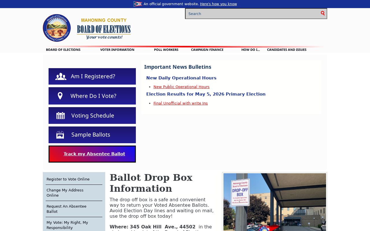
ORC 3503.13 excludes protected identifiers and contact data, and Safe at Home participants have confidential registration under ORC 111.44. A result or no-result must never be used to work around those protections.
Mahoning County Neighbors in Youngstown Groups
Youngstown’s city-hosted neighborhood-groups listing adds community context without creating a member directory. The listing includes organizations such as 4 Square Block Watch, Brownlee Woods, Bryn Mawr, Crandall Park South, Garden District, Know Your Neighbor, Lansingville, Lincoln Knolls, Oak Hill, Rocky Ridge, and Wick Park. It permits new groups to be added, so current activity should be checked directly. A listed group can help identify an area or meeting channel. It cannot confirm that an address or a person belongs to the group.
Wick Park
The city example gives region, boundary streets, meetings, and a contact channel. It does not publish a roster of residents or members.
4 Square Block Watch
It appears in the City’s neighborhood-group listing. Confirm its current contact path with the organization before relying on an old listing.
Brownlee Woods
This is another named City listing that can provide neighborhood context, not a basis for assigning a person to the organization.
The Youngstown Neighborhood Groups page is the official source for those organization listings.
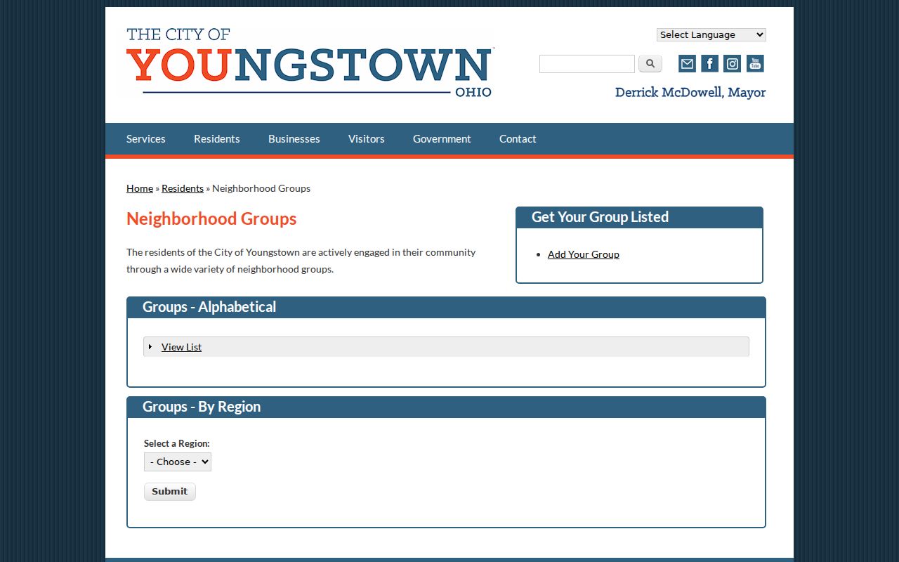
Use this listing to understand an organization’s public presence or neighborhood boundary, then respect the distinction between a community group and its individual members.
Mahoning County Neighbor Records Compared
Official parcel and document sources identify their custodian, record date, search method, and limits. Commercial address-search tools are a separate category that can combine public and commercial data, charge a fee, and preserve stale or mismatched entries. They are not the office of record. When an address question matters, use the Auditor, GIS, Recorder, or other named custodian and retain the date of the record rather than accepting a compiled profile as proof.
| Official Mahoning record | Commercial address-tool category | Practical difference |
|---|---|---|
| GIS and Auditor parcel data | Compiled address and name data | The official route shows parcel context and documented fields; a compilation may be outdated or mismatched. |
| Recorder document index | Summarized property history | The Recorder gives a source document path; a summary still needs document-level confirmation. |
| Board voter information | Broad person-profile listing | The official tool has statutory limits and individual verification rules; it is not a nearby-person browse list. |
Ohio does not have a broad enacted data-broker deletion right. A commercial publisher’s removal process is site-specific, while an official record remains governed by its custodian and the relevant law.
Mahoning County Neighbor Search Is Not a Registry
Several public systems may appear in a broad online search, but they have narrow purposes and should not be merged into a neighbor list. A dog-license tool assists with an identified lost animal. A City nuisance form is a complaint process. Jail and state public-safety systems carry their own coverage rules. They do not establish who lives beside an address or invite contact with a person named in a record.
The County dog-license owner lookup is limited to a license year and number for its public owner-locate function.
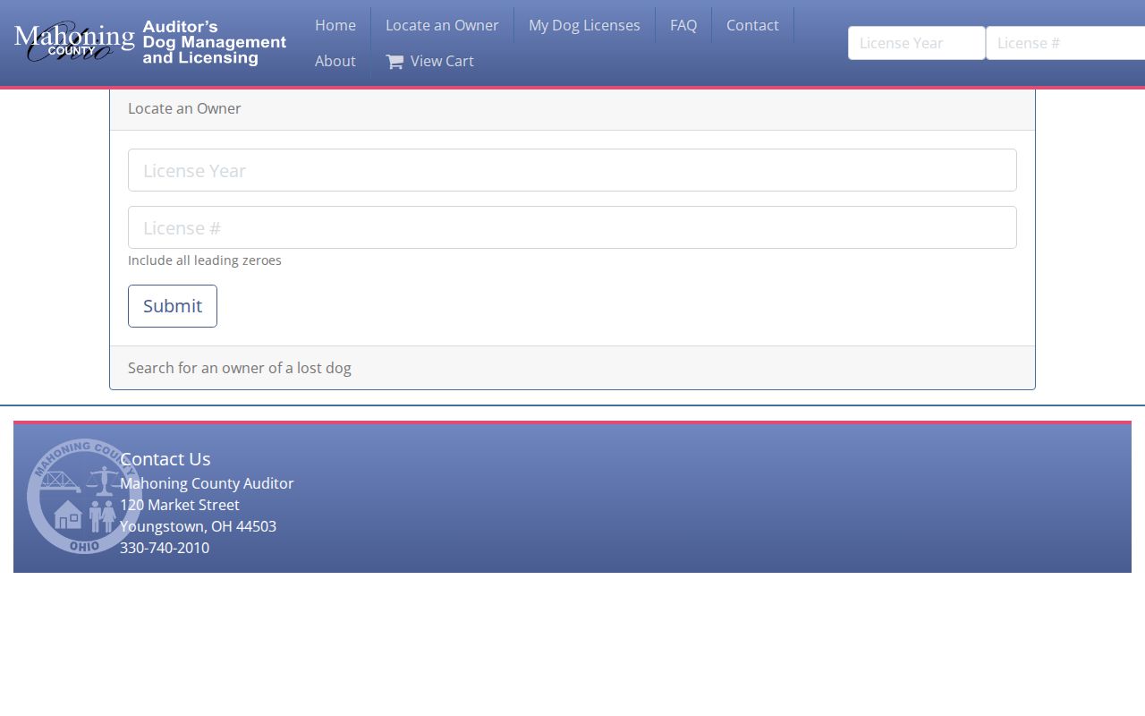
The license tool is for reuniting a lost dog with an owner. It has no open name or neighborhood browse mode.
The Youngstown nuisance complaint form is a public-health complaint process with a public-record notice.
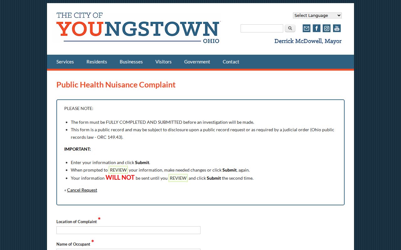
A complainant-supplied name is an allegation or lead, not reliable proof that a person resides at a location.
The Mahoning County Sheriff inmate-information page points to current operational custody information.
An active custody record is not a historical conviction database or evidence of a current residence.
The Ohio Attorney General public-safety information links to the state’s registry guidance.
Use public-safety information only for its stated purpose. Do not treat it as a complete history, an invitation to contact someone, or a way to build a block roster.
Mahoning County Neighbors Have Privacy Lines
Ohio public-record access does not create a right to rebuild a profile of a person or defeat a confidentiality rule. Safe at Home participants can use a substitute address for qualifying public records, and confidential voter registration keeps a participant’s name, residence, and precinct out of the statewide database and official lists. ORC 149.45 also provides a route for certain qualifying people to seek redaction of personal information from an internet record. An original record, court record, or recorded document is not automatically erased by that process.
Lawful personal use. Use nearby-parcel records for legitimate personal, property, civic, or family-history questions. Do not use map or record details to monitor, stalk, threaten, harass, or intimidate anyone.
If a map or record seems wrong, contact the office that maintains it. If there is an immediate safety concern, call emergency services rather than relying on a search result.