
Mahoning County ZIP Directory Coverage
The county’s current public cadastral parcel layer contains 39 distinct five-digit LOCZIP values for parcel situs addresses. That makes it the best first-party source for this Mahoning County postal directory, but it is not a USPS delivery-route list. The areas below are the county GIS situs-city labels or parcel evidence. Exact postal delivery and the post office serving one address still need USPS confirmation. Some postal labels are shared across municipal and township lines, so the table is a starting point for geography, not a jurisdiction finding.
| ZIP | Areas covered | Post Office | Notes |
|---|---|---|---|
| 44401 | Berlin Center | Berlin Center facility reference | Verify the exact delivery address with USPS. |
| 44405 | Campbell | Campbell facility reference | Verify the exact delivery address with USPS. |
| 44406 | Canfield | Not specified in parcel research | Also reaches Canfield city and township and several surrounding areas. |
| 44408 | Columbiana | Not specified in parcel research | Parcel-situs label only. |
| 44412 | Diamond | Not specified in parcel research | Parcel-situs label only. |
| 44416 | Ellsworth | Not specified in parcel research | Parcel-situs label only. |
| 44425 | Hubbard | Not specified in parcel research | Parcel-situs label only. |
| 44429 | Lake Milton | Not specified in parcel research | Parcel-situs label only. |
| 44436 | Lowellville | Not specified in parcel research | Parcel-situs label only. |
| 44437 | McDonald | Not specified in parcel research | Parcel-situs label only. |
| 44440 | Mineral Ridge | Not specified in parcel research | Parcel-situs label only. |
| 44442 | New Middletown | Not specified in parcel research | Parcel-situs label only. |
| 44443 | New Springfield | Not specified in parcel research | Parcel-situs label only. |
| 44444 | Newton Falls | Not specified in parcel research | Parcel-situs label only. |
| 44449 | North Benton | Not specified in parcel research | Parcel-situs label only. |
| 44451 | North Jackson | Not specified in parcel research | Parcel-situs label only. |
| 44452 | North Lima | Not specified in parcel research | Parcel-situs label only. |
| 44454 | Petersburg | Not specified in parcel research | Parcel-situs label only. |
| 44460 | Salem | Not specified in parcel research | Parcel-situs label only. |
| 44471 | Struthers | Not specified in parcel research | Parcel-situs label only. |
| 44481 | Warren | Not specified in parcel research | Parcel-situs label only. |
| 44490 | Washingtonville | Not specified in parcel research | Parcel-situs label only. |
| 44501 | Youngstown | Youngstown facility reference | Verify the exact delivery address with USPS. |
| 44502 | Youngstown | Not specified in parcel research | Parcel-situs label only. |
| 44503 | Youngstown | Not specified in parcel research | Parcel-situs label only. |
| 44504 | Youngstown | Not specified in parcel research | Parcel-situs label only. |
| 44505 | Youngstown | Not specified in parcel research | Parcel-situs label only. |
| 44506 | Youngstown | Not specified in parcel research | Parcel-situs label only. |
| 44507 | Youngstown | Not specified in parcel research | Parcel-situs label only. |
| 44509 | Youngstown | Youngstown West Side facility reference | Verify the exact delivery address with USPS. |
| 44510 | Youngstown | Not specified in parcel research | Parcel-situs label only. |
| 44511 | Youngstown | Not specified in parcel research | Reaches Youngstown, Austintown, and Boardman. |
| 44512 | Youngstown | Not specified in parcel research | Heavily Boardman, with Youngstown, Austintown, and Poland parcels. |
| 44514 | Poland; Youngstown | Not specified in parcel research | Crosses Poland, Boardman, Youngstown, Springfield, and Beaver-related areas. |
| 44515 | Youngstown | Not specified in parcel research | Heavily Austintown Township. |
| 44601 | Alliance | Not specified in parcel research | Parcel-situs label only. |
| 44609 | Beloit | Not specified in parcel research | Parcel-situs label only. |
| 44619 | Damascus | Not specified in parcel research | Parcel-situs label only. |
| 44672 | Sebring | Not specified in parcel research | Parcel-situs label only. |
The official Mahoning County Property Boundaries GIS service supplies the parcel-layer source for this directory.
The county’s GIS ZIP boundary layer is the source captured below.
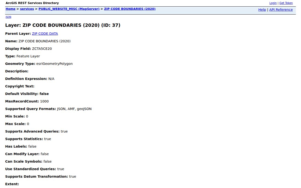
The map service shows why parcel-situs evidence and postal delivery data must be read as related, but distinct, geographic sources.
Mahoning County ZIP Map Layers
The county publishes more than one ZIP-oriented layer. Its separate boundary component identifies a 2020 ZCTA and post-office field, while the public cadastral parcel layer records assessed situs addresses. A ZCTA is a Census geography built from ZIP delivery patterns, not an exact postal boundary. For an individual address, the parcel layer tells a better local tax-map story; USPS still decides mail delivery. This distinction is central to a careful Mahoning County postal-directory search.
The County GIS viewer adds parcel geometry, roads, districts, neighborhood data, and map layers. Its disclaimer remains important: it is informational and not a legal survey. Use it to identify the parcel and its jurisdiction context, not to draw a boundary conclusion or identify every person at an address.
The county’s ZIP boundary layer query exposes the distinct map-layer route.
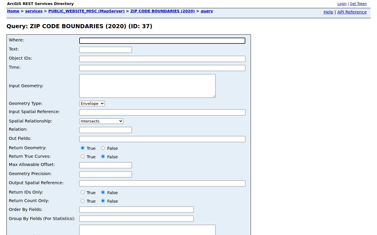
The query view is useful for inspecting the published layer, but it does not convert a ZIP into a city-limit, tax-district, or parcel-owner search.
Mahoning County ZIP Exceptions
Some Mahoning County ZIP boundaries create real search traps. ZIP 44512 is heavily Boardman Township even though the county data also includes Youngstown, Austintown, and Poland parcels. ZIP 44515 is heavily Austintown Township while it can appear under a Youngstown-style county label. ZIP 44514 reaches Poland Township, Boardman Township, Youngstown, Springfield, and Beaver-related areas, with both Poland and Youngstown labels. ZIP 44406 covers Canfield city and township plus parts of Austintown, Beaver, Green, Ellsworth, Boardman, and Goshen areas.
ZIP 44511 also reaches Youngstown, Austintown, and Boardman. A postal label may therefore be a poor substitute for the municipality or township that maintains a local record. After identifying the exact address, inspect the actual municipal, township, school, tax-district, or neighborhood field shown by the county tool. Youngstown neighborhood names such as Brownlee Woods, Cornersburg, Idora, Oak Hill, and Wick Park are local context, not legal postal boundaries.
ZIP versus jurisdiction. A ZIP routes mail. Mahoning County record searches must use the actual parcel, township, municipality, or tax district when the question concerns local government records.
Find a Mahoning County ZIP
There is no ZIP-wide resident roll in the county tools. The workable method uses the postal ZIP to validate one full address, then turns that address into a parcel or jurisdiction search. This avoids suggesting that a Mahoning County postal directory can identify everyone in a delivery area. It cannot. The steps preserve the different roles of USPS, the Auditor, and GIS.
- Validate the full street address and ZIP with USPS. If the city name supplied by a sender differs from a local label, keep the postal result but do not assume it resolves the municipality.
- Enter the confirmed address or parcel in the Mahoning County Auditor property search. Record the parcel identifier, situs address, legal description, and available jurisdiction fields.
- Open the parcel in the County GIS and Tax Map to inspect geometry and district or neighborhood context. Treat the map as informational, not a survey.
- Use the actual township, municipal, school-district, tax-district, or neighborhood filters for follow-up research. Once the search is down to a named road, the Mahoning County street directory provides the address-focused record trail.
For a current individual voter verification, Ohio’s official form asks for First Name, Last Name, and County, not a ZIP. Its DATA Act archive provides election, date-range, and county-list controls for historic state snapshots, but it is not a ZIP address browser. Protected voter records remain protected in either route.
Mahoning County ZIP Search Controls
The Auditor does not offer a ZIP filter in Advanced Search, and the GIS publishes no ZIP locator. A county search that claims to return all people or parcels in one ZIP would therefore overstate the available tools. The real controls below are more useful after a full address or parcel has been confirmed. They also explain why this directory should direct an address into the right jurisdiction, rather than manufacture a ZIP-wide list.
| Tool | Available search fields | Useful result | ZIP limitation |
|---|---|---|---|
| Auditor Advanced Search | Owner, parcel, address, sale, location, land, residential details, tax district, township, municipality, school district, neighborhood | Parcel and assessment context | No ZIP filter. |
| GIS viewer | Address, unit, parcel, owner, street, municipality and map-selection tools | Parcel geometry and related local context | No published ZIP locator. |
| Ohio voter lookup | First Name, Last Name, County, Submit | Individual official registration verification | No ZIP search and no street roster. |
| DATA Act voter archive | Election, start date, end date, county list, name and email for custom package | Historic registration snapshots under state rules | County/date method, not a ZIP address browser. |
Note: The DATA Act custom range can cover up to seven days and 87 counties, and its emailed link expires after 72 hours.
Mahoning County ZIP Boundaries
A ZIP code, a ZIP+4, and a legal parcel description are different systems. Keep them separate when interpreting Mahoning County records. A legal description identifies a lot, block, plat, or metes-and-bounds tract for deeds and may have no ZIP at all. A situs address is the property’s physical location and can have a delivery ZIP. A taxpayer or deeded-owner mailing address can be in another ZIP, county, or state. For a title trail, use the Recorder’s legal description. For delivery, use USPS. For tax mapping, use the Auditor and GIS.
- ZIP code
- A five-digit postal routing code for mail delivery. It is not a municipal or parcel boundary.
- ZIP+4
- An added four digits that narrow mail routing within a five-digit ZIP. It does not change the local jurisdiction.
- PO Box ZIP
- A ZIP used for post-office boxes. It should not be assumed to identify a street-delivery area.
- Unique ZIP
- A ZIP associated with one high-volume recipient or institution when USPS assigns one; no Mahoning example was established in the research.
- Carrier route
- A postal delivery grouping below the ZIP level. It is not a county parcel, voter, or municipal jurisdiction field.
No official county or USPS source located a Mahoning ZIP split or realignment chronology. For historic work, use dated maps, plats, Sanborn material, and the relevant directory edition instead of assigning an unsupported boundary-change year.
Mahoning County ZIP Delivery Checks
USPS facility references provide a practical way to confirm the postal side of a Mahoning County address search. They do not replace address validation, but they make clear that postal facilities and county parcel labels are different kinds of information. Begin with the full address, then use the recorded postal answer before entering the local property tools.
The official Youngstown 44501 USPS facility listing is one of the county’s documented postal references.
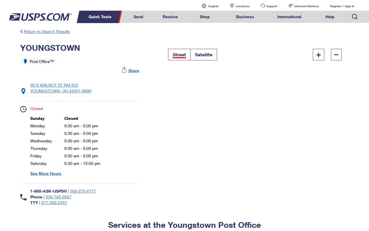
The Youngstown reference supports a postal check, while the parcel search supplies the property and jurisdiction fields for the address itself.
The official Youngstown West Side 44509 USPS facility listing is another documented local reference.
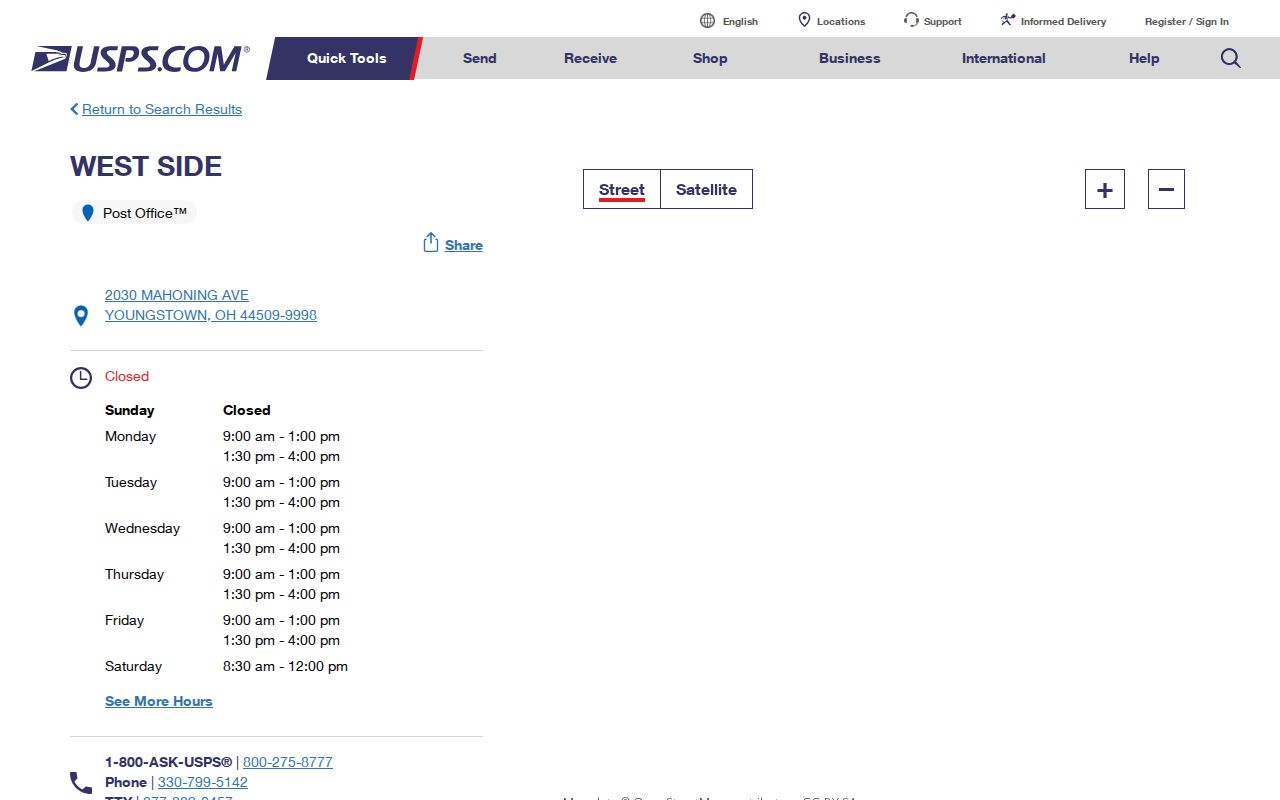
A familiar Youngstown-style postal label should still be checked against the exact Mahoning County parcel before any jurisdiction conclusion is made.
Mahoning County ZIP Postal References
Countywide postal geography extends beyond the Youngstown labels. Berlin Center and Campbell have separate documented USPS facility references, while their exact place in local tax, township, or municipal context remains an address-by-address county question. This is why postal research should be careful with the phrase “serves”: a ZIP can serve parcels whose local government attributes vary.
The official Berlin Center 44401 USPS facility listing is a source for the postal reference used in the coverage table.
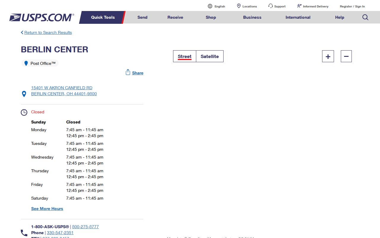
Use a full address with USPS before treating the Berlin Center label as a final routing or parcel-jurisdiction answer.
The official Campbell 44405 USPS facility listing supplies the corresponding local facility reference.
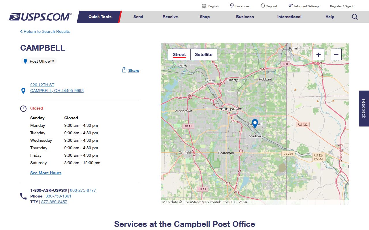
The Campbell facility reference helps verify postal service information, while the county property and GIS tools establish the parcel’s local context.
Mahoning County ZIP Address Assignment
A new Mahoning address begins with local zoning. The county directs a person to the municipality’s zoning office or, where there is none, to Mahoning County EMA at 700 Industrial Road in Youngstown, 330-740-2200. The E9-1-1 Addressing Web Portal is a government workflow that requires municipality, street, and range, validates the jurisdiction, and is reviewed before the address point enters centralized 911 data. It is not a public tool for assigning an address independently.
Historic address research needs the same caution. Youngstown uses multiple street-number origins, including Market or Wick, Federal, Mahoning or Himrod, and Central Square depending on orientation and location. A failed historic number match may reflect a directional prefix, old municipal or township boundary, street name, or numbering convention. No source established a single countywide renumbering date. Compare the legal description and dated map evidence before deciding that an address disappeared.
Note: Mahoning County contains 163,344 parcels across 425 square miles, a scale that makes parcel-specific verification more reliable than a broad ZIP label.